

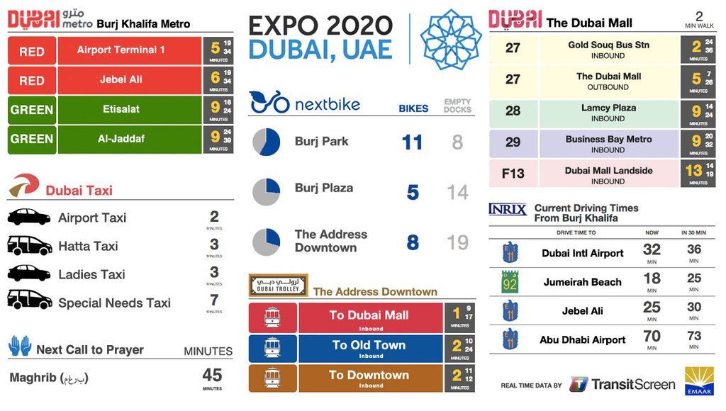
Real-Time Data As Content: TransitScreen Adds Live And Predictive Traffic
August 19, 2015 by Dave Haynes
Ask anybody, in pretty much any big city, about the state of their traffic, and they’ll have a one word answer: “Horrible.”
Still, it’s very handy to know just HOW horrible traffic is on the routes in and out of urban centers and chokepoints, and the guys at Washington, DC-based TransitScreen have done a partnership to add traffic to its selection of data it’s showing on public-accessible screens.
A strategic agreement with Kirkland, Washington-based INRIX adds traffic drive times to both new and existing TransitScreen displays, which already shows things like transit times and data on things as diverse as Uber and bike-share systems. The new data will show traffic information at a glance for a choice of destinations, the current drive time and the predicted drive time 30 minutes on.
”More and more people are measuring distance in minutes, not miles,” says Kevin Foreman, GM, GeoAnalytics at INRIX. “We are pleased that TransitScreen is providing real-time distances in in minutes based on the INRIX network of over 250 million drivers and devices.”
INRIX drive time data comes from that massive set of connected vehicles and sensors, and the predictions of future drive times are the result of sophisticated models incorporating data across the road network, weather, real-time incidents, and events.
Yes, people could just fire up their phones and look at Waze, or Google’s traffic overlays on maps. Or turn on talk radio or satellite traffic. But at a glance is about as much time as a lot of people will give when they just want to get on their way.
Leave a comment